Map Archives
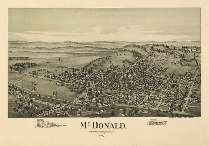
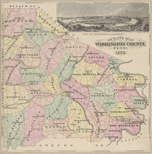
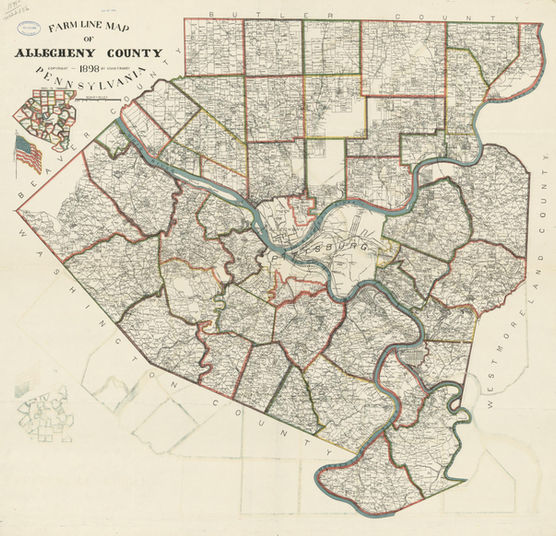
Below are a variety of vintage maps in categories relevant to the land and history of the Historic Fort Cherry and surrounding areas. These maps provide a valuable source on information about the region and are useful to local historians, genealogists, and educators. There were numerous territory and border changes throughout local municipalities, counties, and the state of Pennsylvania that are evident in many of these maps. Maps hosted by HFC can be opened in an expanded mode by clicking or tapping the icons. Some larger maps are hosted by other websites such as the Library of Congress. This list is not complete and will be continuously updated.
Municipality Maps • Washington County Maps • Allegheny County Maps
• General Pennsylvania & Virginia Maps • Borough Sanborn Fire Maps
Municipality Maps
Washington County Maps
Allegheny County Maps
General Pennsylvania & Virginia Maps
Borough Sanborn Fire Maps
The Sanborn Map Company produced several maps of towns throughout the United States. Maps from the 19th and 20th century exist for both the borough of McDonald and Midway and show town layouts, houses, and business locations in great detail. To learn more about these maps, visit the Library of Congress' Sanborn Map collection.


